River Flows for Hydro Plants
You may track, on an hourly basis, water levels and flows of the recreational rivers and lakes near AEP's hydroelectric facilities. See a map of our plant locations.
Explanation of Terms
- The "Forebay" and "Tailwater" numbers show the feet above sea level of the water levels immediately upstream and downstream from our plants.
- "Tailwater Flow" is the hourly average of the river flow just downstream of the plants, measured in cubic feet per second.
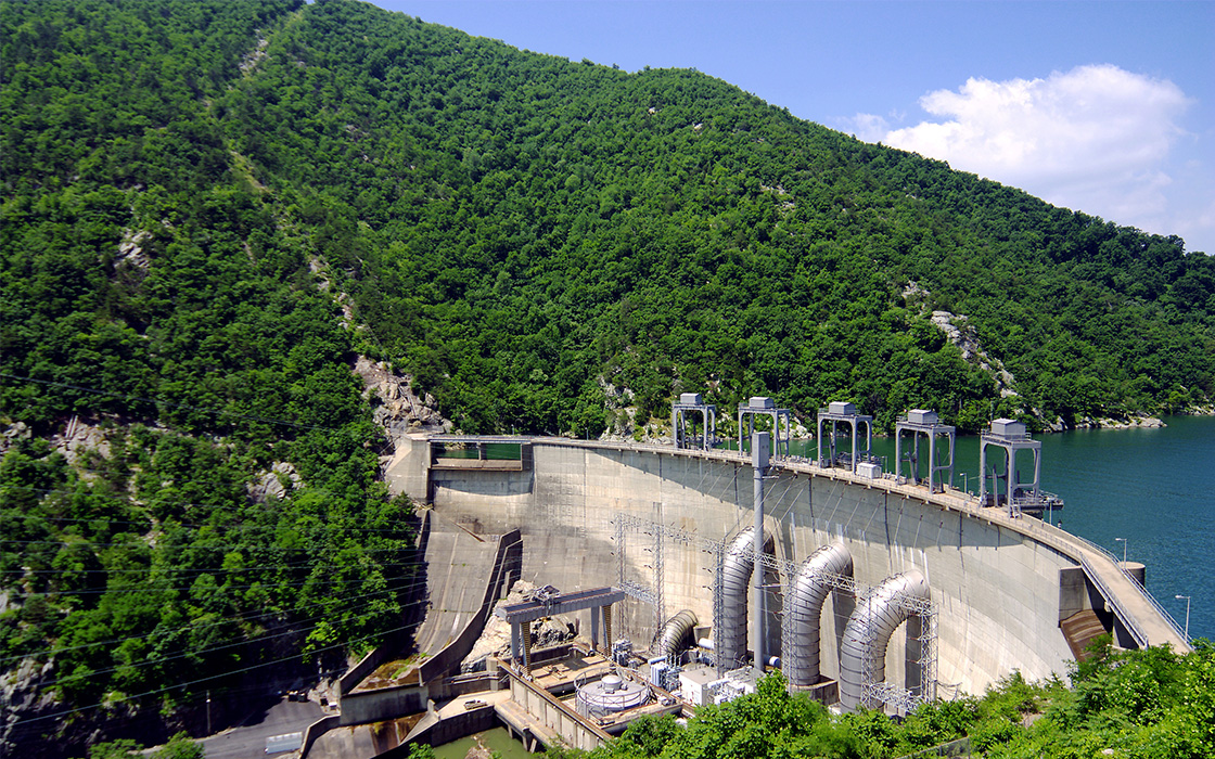
New River Flows & Forecasts
Water release information for AEP's Claytor, Buck, and Byllesby hydro dams is updated every fifteen minutes. Forecast information is estimated. Water travel times may be affected by water conditions, precipitation in the watershed and other factors.
Most Recent Conditions
| Project | Normal Full Pond | Forebay Actual (Feet) | Tail Water (Feet) | Tail Water (CFS) |
|---|---|---|---|---|
| Buck | 2003.40 | 2003.02 | 1959.54 | 605 |
| Byllesby | 2079.20 | 2078.65 | 2022.04 | 405 |
| Claytor | 1846.00 | 1845.72 | 1730.17 | 1010 |
Downstream Forecasts
Forecast information shows water release information from the Claytor Dam, delayed to account for the average time it takes the released water to reach particular points downstream. Water travel times may be affected by water conditions, precipitation in the watershed and other factors.
Kanawha River
| Project | Normal Full Pond | Forebay Actual (Feet) | Tail Water (Feet) | Tail Water (CFS) |
|---|---|---|---|---|
| London | 614.00 | 613.92 | 590.76 | 2400 |
| Marmet | 590.00 | 590.04 | 566.44 | 3060 |
| Winfield | 566.00 | 566.36 | 538.72 | 4506 |
Roanoke River
| Project | Normal Full Pond | Forebay Actual (Feet) | Tail Water (Feet) | Tail Water (CFS) |
|---|---|---|---|---|
| Niagara | 885.00 | 885.11 | – | – |
| Smith Mountain | 795.00 | 790.33 | 601.19 | – |
| Leesville | 613.00.00 | 602.98 | 531.71 | 703 |
Saint Joseph River
| Project | Normal Full Pond | Forebay Actual (Feet) | Tail Water (Feet) | Tail Water (CFS) |
|---|---|---|---|---|
| Constantine | 782.90 | 782.82 | 771.58 | – |
| Mottville | Summer: 770.40 Winter: 770.00 | 770.40 | 759.09 | 1678 |
| Elkhart | 741.50 winter: 739.50 | 741.55 | 723.56 | – |
| Twin Branch | 717.10 | 716.90 | 696.45 | 3131 |
| Buchanan | Summer: 637.50 Winter: 637.00 | 637.48 | 625.16 | 3669 |
| Berrien Springs | 623.50 | 623.53 | 599.16 | 4860 |
Plant–Specific Notices
As of 05:00 this morning, Monday June 15, 2026, inflow to the Smith Mountain Project was 284 CFS and the discharge from Leesville was 703 CFS. The adjusted reservoir elevations was 790.7 ft. The flow rate at the USGS Gauge at Brookneal was 928 CFS, Stage 4.48 ft. and at Altavista 856 CFS, Stage 2.02 ft.